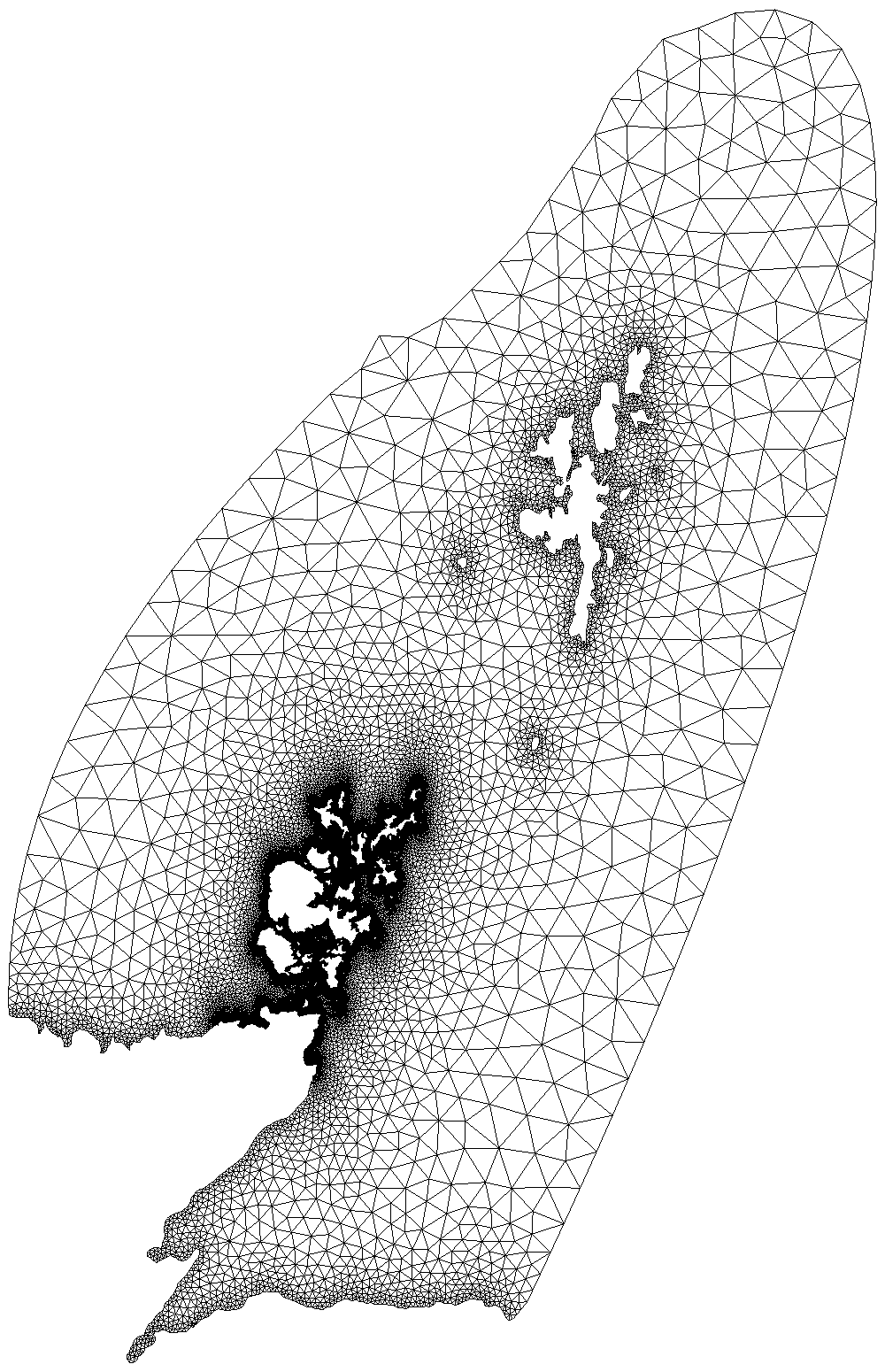
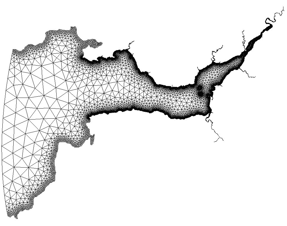
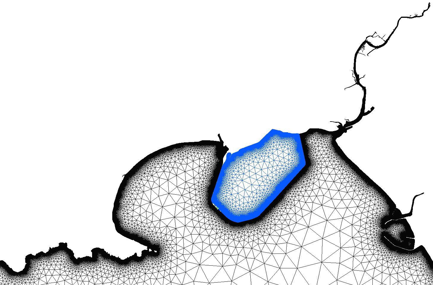
qmesh interfaces Geographical Information Systems with mesh generator utilities. This way you can use GIS software to describe the domain and desirable mesh size, and then produce the mesh.

qmesh is built as a suite of software packages. The core package was developed in python, with additional packages providing the user with other means of interaction. This way qmesh features: Application Programmer Interface, Command Line Interface and a Graphical User Interface.

qmesh was developed and is maintained by Alexandros Avdis and Jon Hill, with the aim to provide an open-source and robust mesh-generation suite for geophysical domains. qmesh is released under a GPL v3 license. It was developed as an academic software, documented in a paper, and used in other studies too -- see our papers page for more details. The development repositories are publicly accessible. We use continuous integration practices to test qmesh. We also maintain citable repositories containing the source code, documentation and operating system instances, to promote reproducibility and attribution.
